Cet article est aussi disponible en: Français

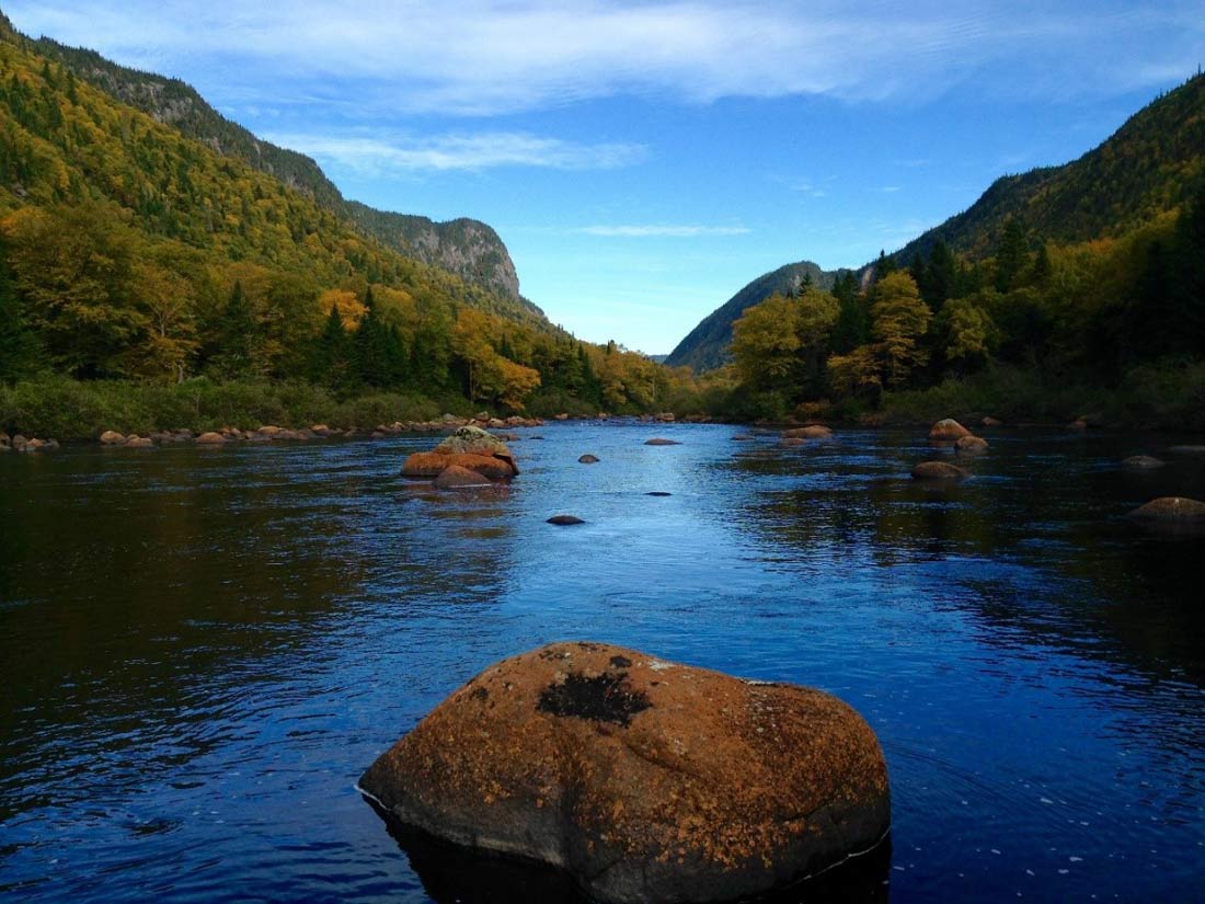
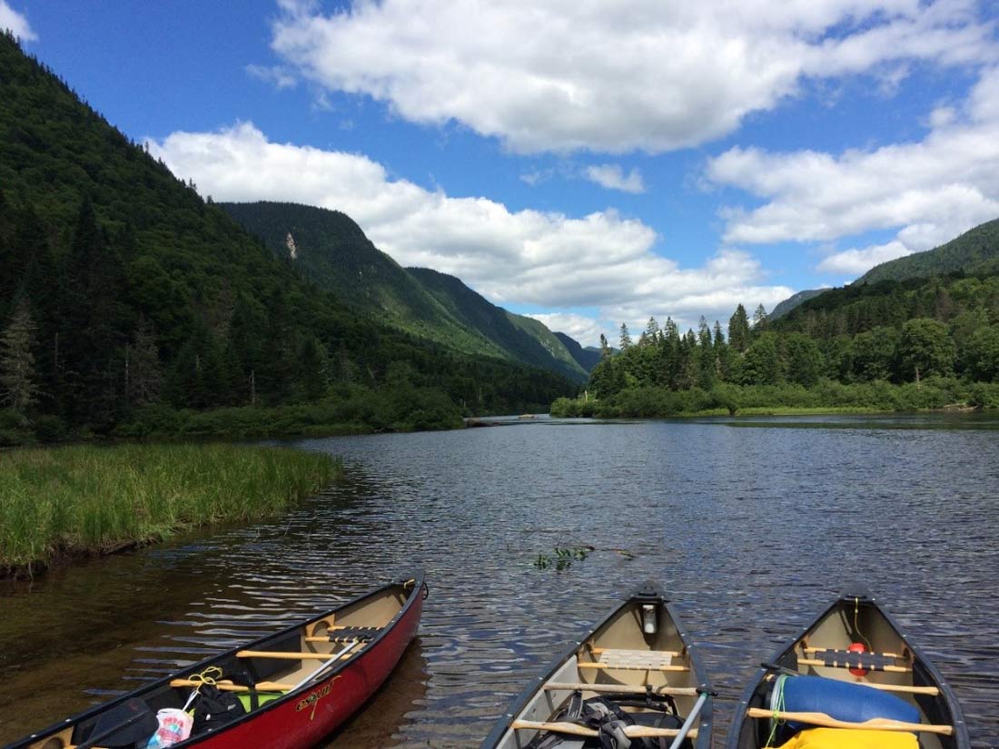
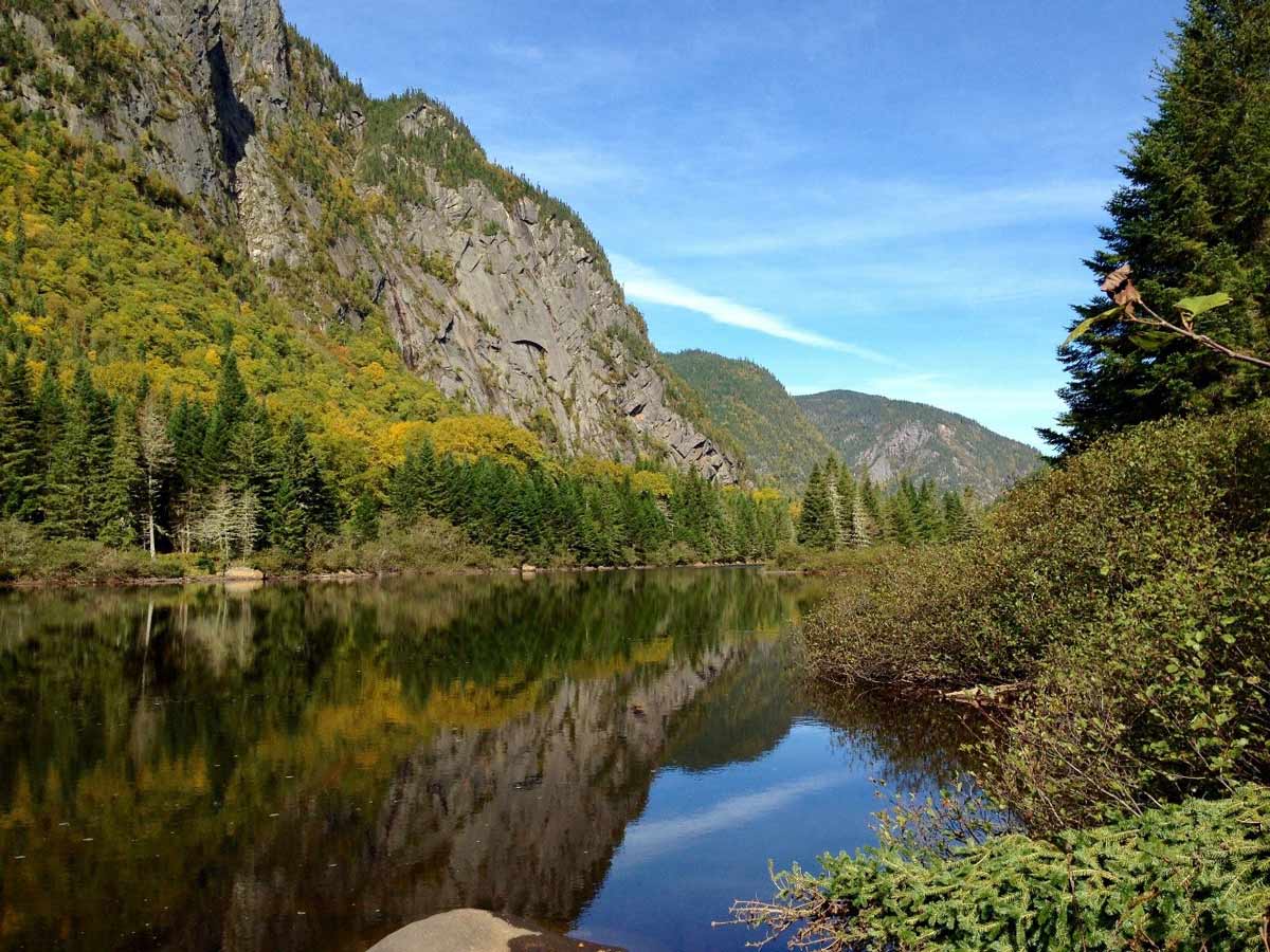
Located in an old glacial valley called the Jacques-Cartier Valley and crisscrossed by a river where it is possible to practice water sports, this park is simply spectacular! About thirty minutes north of Quebec City, you will not be disappointed by the mountainous landscape, the many possible activities and the heartwarming welcome of the staff. This park offers different trails for all levels of activities, from beginners to experts. This is one of my favorite place for weekend getaways with my spouse, we rarely walk distances less than 25 km per day. For long hikes, we usually combine several trails, often following the main path along the majestic Jacques-Cartier River. Here are some favorites places of this park which is definitely worth a visit!
Adress: 103 chemin du Parc-National, Stoneham-et-Tewkesbury (Québec), G3C 2T5
Site web: Parc National de la Jacques Cartier
« LES LOUPS » TRAIL (ACCESSIBLE TO KM 16)
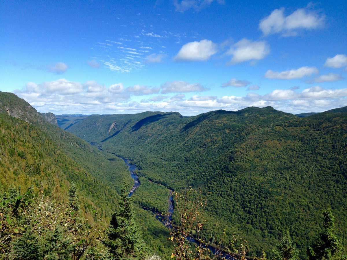
With an elevation of 447m and a distance of 11 km round trip, you will be amazed by the viewpoints overlooking the fractures of the Laurentians. A shuttle bus is available from km 10 (welcome chalet) at certain times of the year. If you want to lengthen your hike, it is possible to walk from the welcome chalet (km 10) to km 16 to start the trail Les Loups. A small cottage is located at km 16 at the beginning of the trail.


« LE DRAVEUR NORD » TRAIL (ACCESSIBLE TO KM 18 ON WHITE BRIDGE OR KM 30)
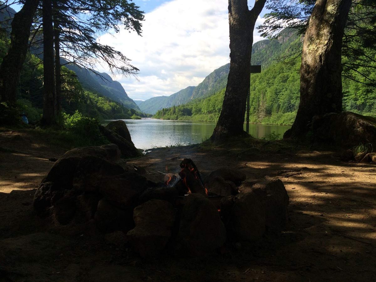
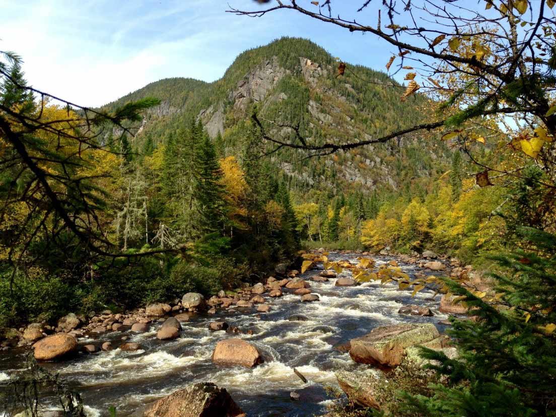
Of all the trails, this one is in my opinion the most difficult of the park for people with balance and joint problems. However, bringing sticks with you and concentrating on your movements in difficult places, you will quickly be seduced and absorbed by the wilderness of this trail, its tranquility and the beauty of the rocks and waterfalls. Don’t be surprised by the moose and deer that you often encounter. If you start the trail at km 18 to km 30, you will come across a wild camping site with an exceptional look at the river and the valley. It is possible to extend your hike by adding the Draveur Sud Trail, the Scotora Trail, the La Croisée trail and the main path as well. For the Draveur Nord trail only, calculate 24.8 km round trip.

« LA CROISÉE » TRAIL (ACCESSIBLE TO KM 33 AT THE END OF THE PARK)
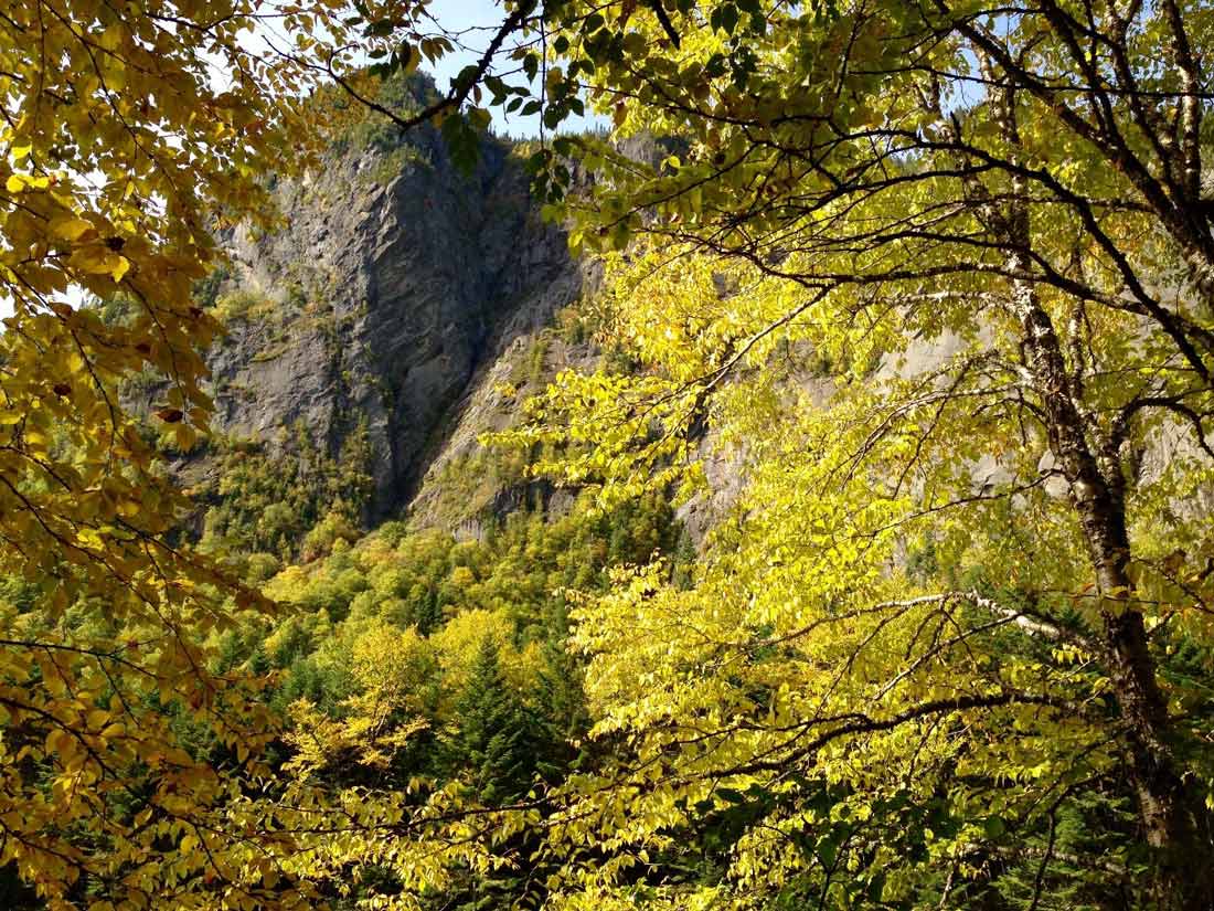
La Croisée is my favorite trail for different reasons. First, the course on the edge of the river allows us to contemplate the immensity of the cliffs. You will arrive at a junction where the strength of the water is at its height. In winter, this trail is not accessible. In autumn, it is beautiful and photographers will be filled. Not long after starting your hike, two paths are possible. I suggest you to take the path along the river going and choose the way to the mountain on your way back. Plan on good shoes and ideally small gloves because the rocks can be slippery at times and in some places you will have to stand with your hands. It is necessary to calculate 12,3 km round trip. All simply magnificent!
« LE SCOTORA » TRAIL (ACCESSIBLE TO KM 30)
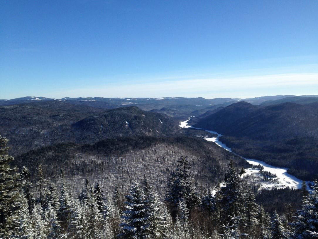
With a length of 16 km round trip, this trail promises beautiful discoveries. After a steep climb, you will quickly forget the difficulty of this trail by the beauty of nature that will unfold as you go. You may be lucky enough to see beavers since the colonies are numerous. You will quickly find yourself at the top of Mount Andante (405 m) where you can see the impressive gorges of the park. The view is breathtaking! I suggest you to put a few layers of clothing on you because the temperature varies a lot.
Leave a Reply